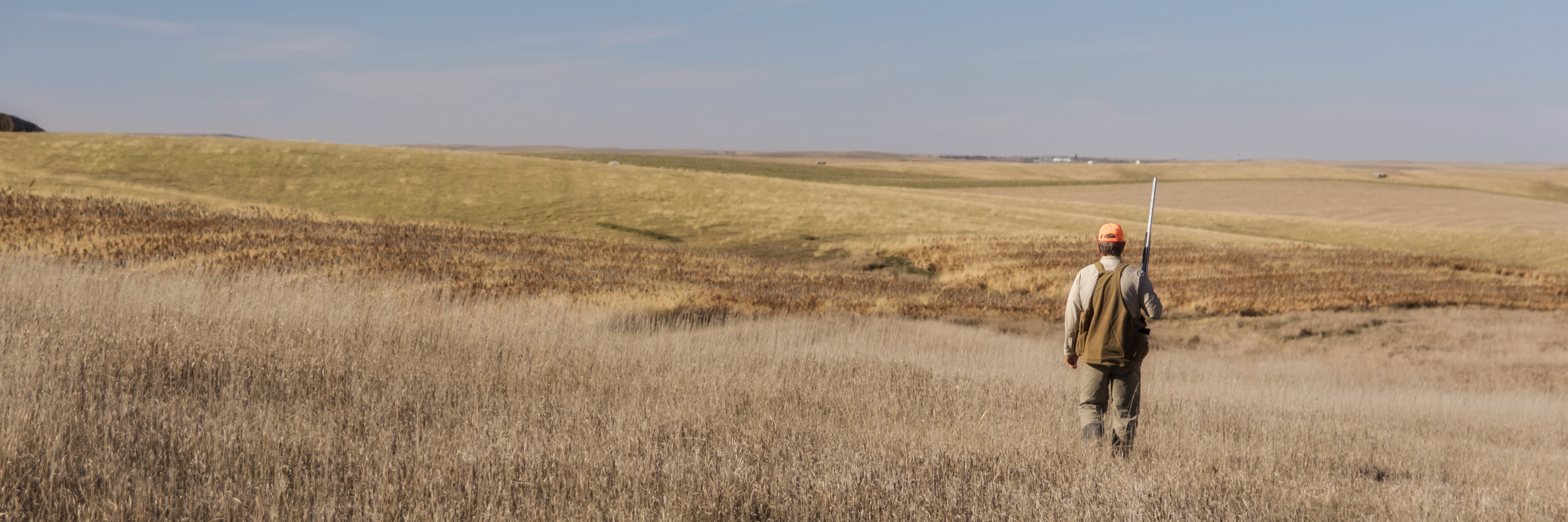
Missouri River Waterfowl Counts
Survey areas of the Missouri River may not have data listed as flights were not completed due to weather conditions, plane availability, personnel availability, or surveys not conducted due to little change in the number of waterfowl migrating into that specific survey area from the previous flight.
Week 1 - 11/14/2012
Week 2 - 11/20/2012
Week 3 - 11/28/2012
Week 4 - 12/05/2012
Week 5 - 12/11/2012
Week 6 - 12/18/2012
Week 7 - 01/03/2013
01/10/2013 - Due to technical difficulties, GFP was unable to complete a flight this week. However, field staff comments that the numbers are very similar to week 7 counts.
Week 8 - 01/14/2013
01/29/2013 - GFP is unable to fly this week. However, field staff comments that there are plenty of geese on the Missouri River for quality hunts.
Survey Areas (see map below)
- Upper Oahe - South Dakota state line to Whitlocks Crossing
- Lower Oahe - Whitlocks Crossing to Oahe Dam
- Pierre Area - Oahe Dam to Medicine Knoll Creek and Capitol Lake
- Lake Sharpe - Medicine Knoll Creek to Big Bend Dam
- Lake Francis Case - Big Bend Dam to Ft. Randall Dam
- Lower Missouri - Ft. Randall Dam to Sioux City
- Lake Pocasse - In Campbell County
- Red Lake - In Brule County
- Lake Andes - In Charles Mix County

